20 places, one standard
Destinations
Luminaria books vetted local photographers, videographers and drone pilots in 20 destinations across Mexico — cities, coastlines and islands — from $130. Each one lives there, and knows which hour a place is still empty and which authority a session there answers to.
20 destinations
Search a destination
Cancún
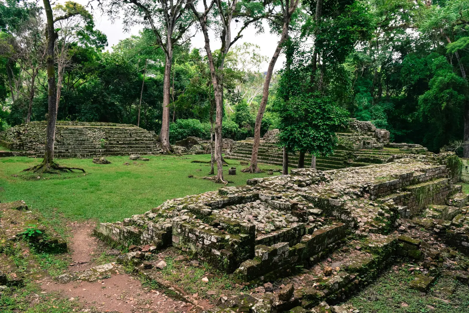
Cancún is a resort city in Quintana Roo built along Boulevard Kukulcán, a road that runs the length of a narrow sand bar between the Caribbean and the Laguna Nichupté. The geography decides most sessions here. The short northern arm of the hotel zone faces Bahía de Mujeres, where the water is calmer and the beaches look west towards the sunset. The long eastern arm faces open sea, which means sunrise over the water and, by late afternoon, the shadow of the hotel towers falling across the sand. Most clients are staying in an all-inclusive resort, and the resort is the first thing to check. Each resort in the Zona Hotelera sets its own rule for outside photographers, so two hotels on the same beach can answer differently. Ask the hotel for its current outside-vendor policy, including any access fee, before booking. The beach in front of it is public under the Ley General de Bienes Nacionales, so a session can always move onto the sand, though a set-up with an arch or chairs may need a permit from the municipal ZOFEMAT office. Three Instituto Nacional de Antropología e Historia (INAH) sites sit inside the city limits: San Miguelito at km 16.5, El Rey at km 18 and El Meco on the Puerto Juárez to Punta Sam road. Personal photography is allowed on a ticket, but a session with professional equipment needs INAH authorisation INAH-01-001, applied for at least 10 business days ahead. The reefs off Punta Cancún and Punta Nizuc belong to a national park managed by the Comisión Nacional de Áreas Naturales Protegidas (CONANP), and that park charges its own daily fee. Cancún International Airport sits on Carretera 307 at km 22, south of the city, which makes it the constraint on every drone plan. Downtown Cancún, around Avenida Tulum and the Parque de las Palapas, is the city’s own centre, away from the resorts, and the natural setting for local family portraits and XV años sessions.
Explore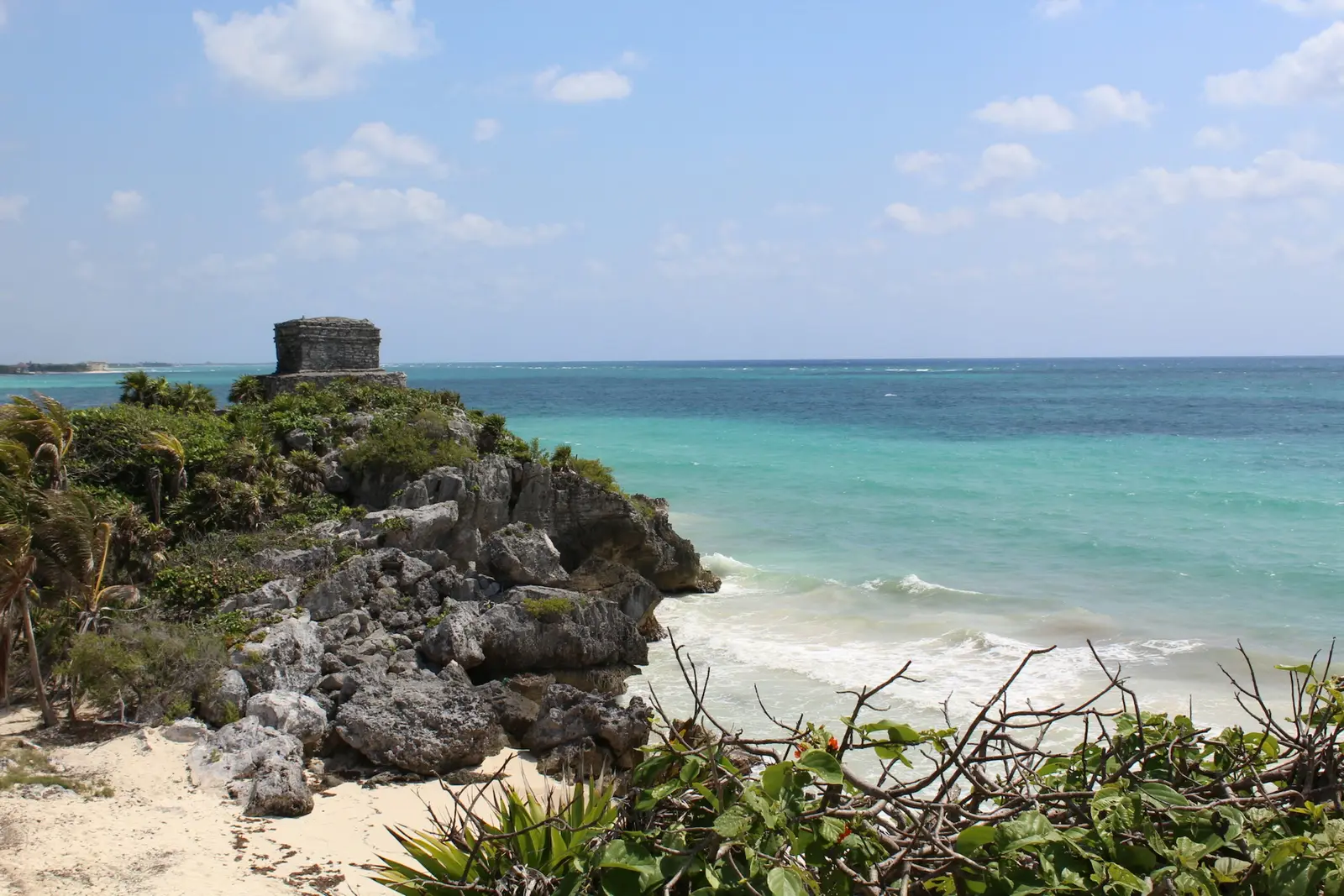
Tulum
Tulum is a town on the Caribbean coast of Quintana Roo where three regimes meet on one stretch of sand: the Zona Arqueológica de Tulum, run by the Instituto Nacional de Antropología e Historia (INAH); the Parque Nacional Tulum around it, run by the Comisión Nacional de Áreas Naturales Protegidas (CONANP); and the federal beach strip that every hotel south of the park faces. Each one sets its own hours and its own position on professional cameras, and a session here is planned around which of the three it falls under. The ruins are the image people arrive with, and the hardest place to make it. INAH opens the site from 8:00 to 17:00 with last entry at 15:30, which rules out both sunrise and sunset in every month of the year. A visitor with a phone needs no permit, but a photographer with professional equipment needs INAH authorisation, trámite INAH-01-001, requested at least 10 business days ahead and charged at MXN 7,958 per day in 2026. The beaches of the national park run on CONANP hours, 7:00 to 19:00, and the hotel-zone sand south of the park is public by federal law at any hour. Distances decide the rest. The Tulum International Airport sits on Federal Highway 307 near Chunyaxché, roughly 20 km in a straight line southwest of the town, and the ruins entrance is a 700 m walk from the parking lot. The Sian Ka'an Biosphere Reserve begins about 11 km south of the ruins, and Cobá lies 52 km to the northwest, both within an hour by road. A morning session at Sian Ka'an and an evening one on the hotel-zone beach fit the same day. Clients here are mostly couples from the US and Canada staying four to seven nights: proposals, elopements, honeymoons and weddings at the boutique hotels of the beach road, plus a large share of content creators. Hotels and beach clubs set their own rules for outside photographers, and few publish them, so every session at a private venue starts with an email to the hotel asking for its current vendor policy.
Explore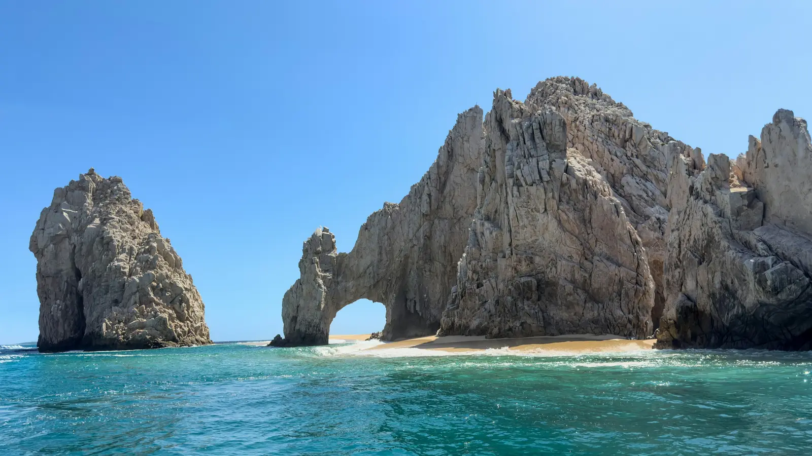
Los Cabos
Los Cabos is the municipality at the southern tip of the Baja California peninsula, and a session here is planned around two towns rather than one. Cabo San Lucas sits on the bay at Land’s End, San José del Cabo sits 32.6 km to the north-east by the federal protected-area office’s own count, and the Tourist Corridor of resorts and coves runs between them along the Sea of Cortez. Most visiting couples stay somewhere on that strip, so the first decision is which end of it the light, the beach and the drive favour on the date. The famous rock is a federal matter. El Arco and Playa del Amor lie inside the Área de Protección de Flora y Fauna Cabo San Lucas, a protected area decreed in 1973 that covers 3,996 hectares, of which 3,788 are sea. The Comisión Nacional de Áreas Naturales Protegidas (CONANP) charges MXN 125 per person per day for access, the area is open every day of the year, and the only way onto the sand under the Arch is a boat, a water taxi or a kayak from the Cabo San Lucas marina. A commercial shoot with more than one technician supporting the camera operator falls under the federal rule for filming in protected areas, so crews there are kept small and asked about in advance. The water decides the rest. The Los Cabos tourism board counts 43% of the destination’s beaches as swimmable, which means most of the coast is not, and the sheltered coves of the Corridor — Playa El Chileno and Bahía Santa María — are where in-water and family sessions go. Mexican beaches are public by federal law, including those in front of resorts, but a beach set-up with an arch, chairs or a closed-off area is handled through the Dirección Municipal de Gobierno at the Palacio Municipal in San José del Cabo, and the lifeguard flag on the day overrides any plan. Two logistics trip people up. Baja California Sur runs on Mexico’s Pacific Zone, UTC−7 all year with no daylight saving, two hours behind Cancún. And Cabo San Lucas has its own airport on the mesa north-west of town, so most of the town and El Médano sit inside the 9.2 km drone exclusion ring before anybody has asked a resort about its outside-vendor rules — which vary by property and are confirmed with the hotel before a date is fixed.
Explore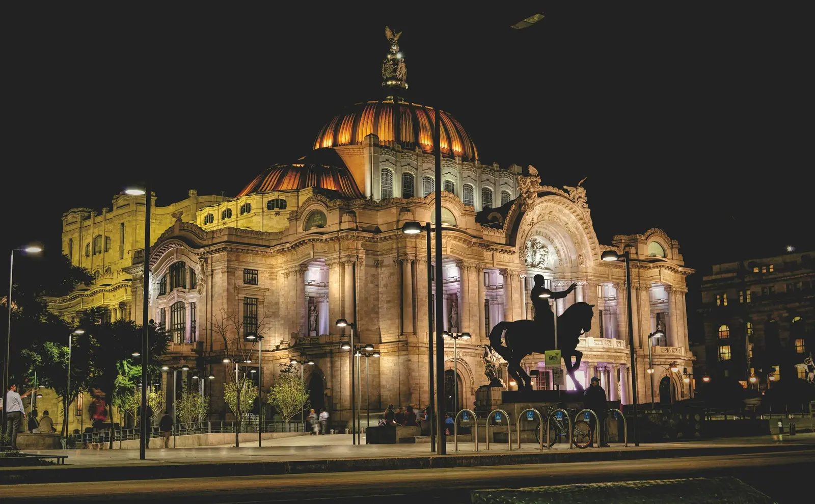
Mexico City
Mexico City is a capital of roughly 2,240 m altitude where the light is set by the season more than by the hour: dry, hazy and gold from November to April, then washed clean by afternoon storms through the rainy months. A session here is a city session. The backdrops are tree-lined avenues in Roma and Condesa, the colonial plazas of Coyoacán, the marble of the Palacio de Bellas Artes and the canals of Xochimilco, and the clients are as often a local founder who needs a portrait for a launch as a visiting couple on a long weekend. The rules split by who owns the ground. Streets, parks and plazas are common-use property under the Ley de Filmaciones de la Ciudad de México, which exempts recording for personal or tourist use from any notice, and asks audiovisual productions to file a free Aviso with the Comisión de Filmaciones at least 12 hours ahead. Museums are another matter: the Museo Nacional de Historia in the Castillo de Chapultepec does not allow photo sessions, costume changes, tripods, stabilisers or professional cameras at all, and Casa Gilardi admits phones only. Plan the portrait outside, and visit the interiors as guests. Distance is measured in traffic rather than kilometres. Roma, Condesa, Juárez and Polanco sit within about 5 km of each other: a 30-minute session stays in one of them, and a longer one, quoted in writing, can take in two. Coyoacán and San Ángel are a separate half-day in the south, Xochimilco is a further hour of driving at most times, and the Zona Arqueológica de Teotihuacan lies roughly 50 km to the north-east, so it is a dedicated morning that starts before the 8:00 opening. Drones are the exception to everything above. The Aeropuerto Internacional de la Ciudad de México (AICM) is about 6 km from the Zócalo, and Mexico’s drone standard keeps flights at least 9.2 km from an aerodrome, which places the Centro Histórico and the Palacio de Bellas Artes inside the exclusion ring. Aerial work here is planned case by case with a Mexican-registered pilot, never improvised on the day.
Explore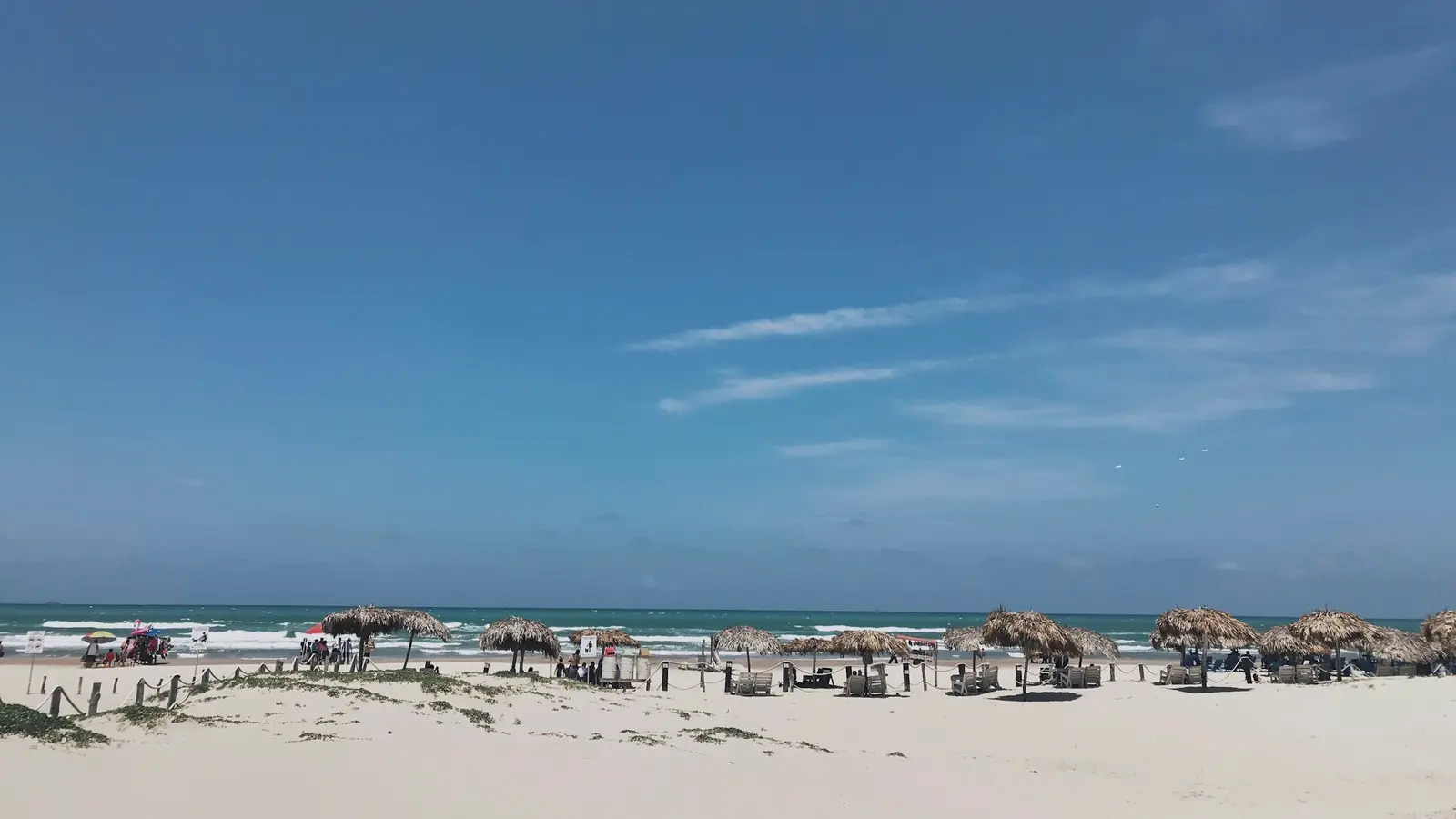
Playa del Carmen
Playa del Carmen faces due east across the channel to Cozumel, and that one fact organises every session booked here. The sun rises out of the water — at about 7:19 in late December and 6:08 in late June, on Quintana Roo time, which is UTC−5 all year and an hour ahead of Mexico City. In the evening it sets behind the town and the jungle, so a sunset session on the sand is lit by afterglow rather than by a sun on the horizon. Most couples who want the classic gold-on-water frame book the first hour of the morning, when the beach is also at its emptiest. The town is long and narrow. Quinta Avenida, the pedestrian Fifth Avenue, runs parallel to the beach one block inland for several kilometres, from the Parque Los Fundadores and the ferry pier at Calle 1 north towards Punta Esmeralda. South of the pier sits Playacar, a gated development of hotels and homes with a quieter, wider beach. North of the centre the hotel blocks thin out into Coco Beach, Punta Esmeralda and the Xcalacoco shore. Everything in the centre is walkable, and a session can move from a beach to the Quinta in five minutes on foot. The rules are mostly unwritten rather than strict. Mexican beaches are public under the Ley General de Bienes Nacionales, and the Ayuntamiento de Playa del Carmen publishes no fee for a handheld photo session. A ceremony with an arch, chairs or a cordoned-off area is a different matter and can need a ZOFEMAT or SEMARNAT permit, which the hotel or planner arranges. The Xcaret group parks south of town sell their own PhotoPass taken by park photographers, so a session is planned outside them rather than inside. The clients are mostly couples and families staying in the Playacar resorts or the boutique hotels off the Quinta, plus wedding groups who chose the town over Cancún for its walkable centre. Cancún International Airport is roughly an hour north by road, and the ferries from the pier at Calle 1 make Cozumel a half-day addition rather than a separate trip.
Explore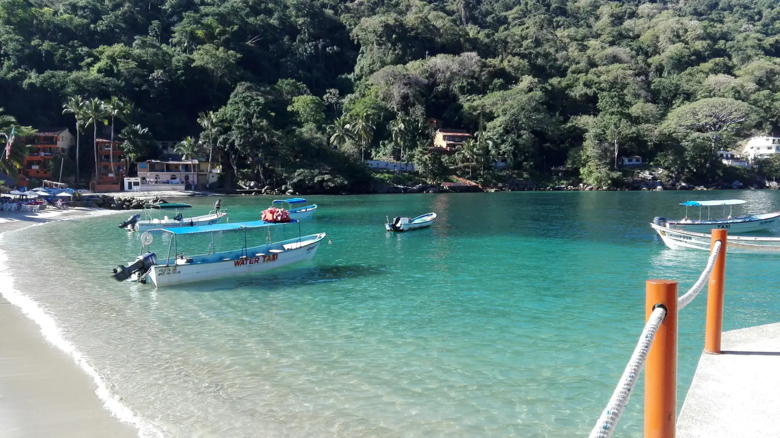
Puerto Vallarta
Puerto Vallarta is a resort city in Jalisco on the eastern shore of Banderas Bay, where the Sierra Madre drops almost straight into the Pacific. The town faces west across the water, which is why the sun sets over the bay rather than behind a hill, and why most sessions here are booked for the last 90 minutes of daylight. The Río Ameca, which reaches the sea just north of the airport, is the state line: everything north of it, Nuevo Vallarta included, is Nayarit. The city runs as a strip from north to south. Marina Vallarta and the Hotel Zone sit beside the Aeropuerto Internacional Lic. Gustavo Díaz Ordaz (PVR), roughly 2 to 4 km from the runway. Downtown and the Malecón are about 8 km south of it, and the Zona Romántica, with the Los Muertos pier and the Isla del Río Cuale, lies just beyond. Past the Zona Romántica the coastal highway climbs through Amapas and Conchas Chinas to Mismaloya, about 10 km south of the Malecón in a straight line, where the hills close in and the beaches become coves. That layout decides how a drone shoot is planned. Mexico’s drone standard, NOM-107-SCT3-2019, keeps drones 9.2 km from any aerodrome without special authorisation and bans flight within 3.7 km even with one. Marina Vallarta falls inside the inner ring, the Malecón and Los Muertos inside the outer one, and Conchas Chinas sits about 10 km out, just past it. Every paid drone flight here is flown by a Mexican-registered, insured local pilot, because the standard restricts foreign operators. The clients are mostly couples and families from the United States and Canada on direct flights, plus a large share of destination weddings in the Hotel Zone and the south-shore resorts. Beaches are public under federal law, so a session on the sand needs no ticket, but a hotel’s grounds are private and each property sets its own rules for outside photographers. A foreign photographer on tourist status may not do paid work in Mexico, so the photographer who shoots your session lives and works here.
Explore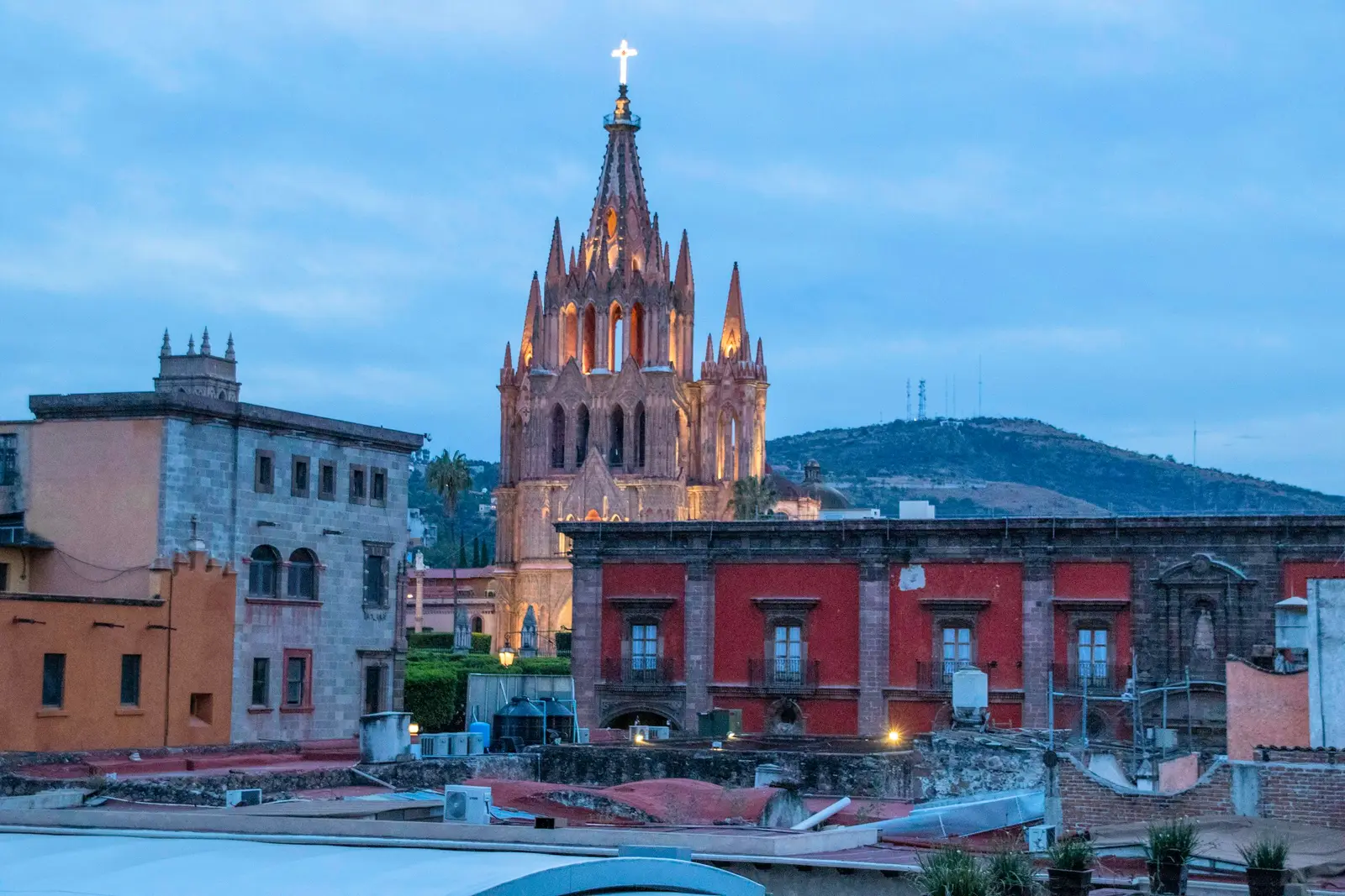
San Miguel de Allende
San Miguel de Allende is a colonial hill town in the state of Guanajuato, inscribed by UNESCO in 2008 together with the Sanctuary of Jesús Nazareno de Atotonilco, 14 km away. The town was founded in the 16th century to guard the silver road inland and reached its peak in the 18th, which is why almost every street in the centre is a finished backdrop of stone, ironwork and painted render. A session here is planned on foot: the historic centre is compact, steep and cobbled, and the pink neo-Gothic façade of the Parroquia de San Miguel Arcángel is visible from much of it. The streets are shared with a very busy town. The municipal traffic regulation makes the Plaza Principal, the first two blocks of Calle Aldama, Cuna de Allende and several other central streets pedestrian zones, so cars do not cross the frame there, but people do. Sunrise is the only hour when Calle Aldama and the Jardín Principal are reliably quiet, and a session that wants the Parroquia without a crowd starts before 8 am. The second landscape is above the town. El Charco del Ingenio is a botanical garden and nature reserve of cacti and succulents on the canyon rim, open 9 am to 5 pm every day, and its own rules require advance written permission for private photo or video sessions, drone flights and ceremonies. Fábrica La Aurora, a former textile mill turned into galleries and design studios, sits 15 minutes on foot north of the Jardín and gives a covered, industrial alternative on a rainy afternoon. Most clients are couples: proposals, engagements, elopements and destination weddings held in private houses, hotels and haciendas, plus families on holiday and the town’s large community of artists and small businesses. San Miguel has no commercial airport, so guests arrive by road from Querétaro or León, and the session plan accounts for the drive.
Explore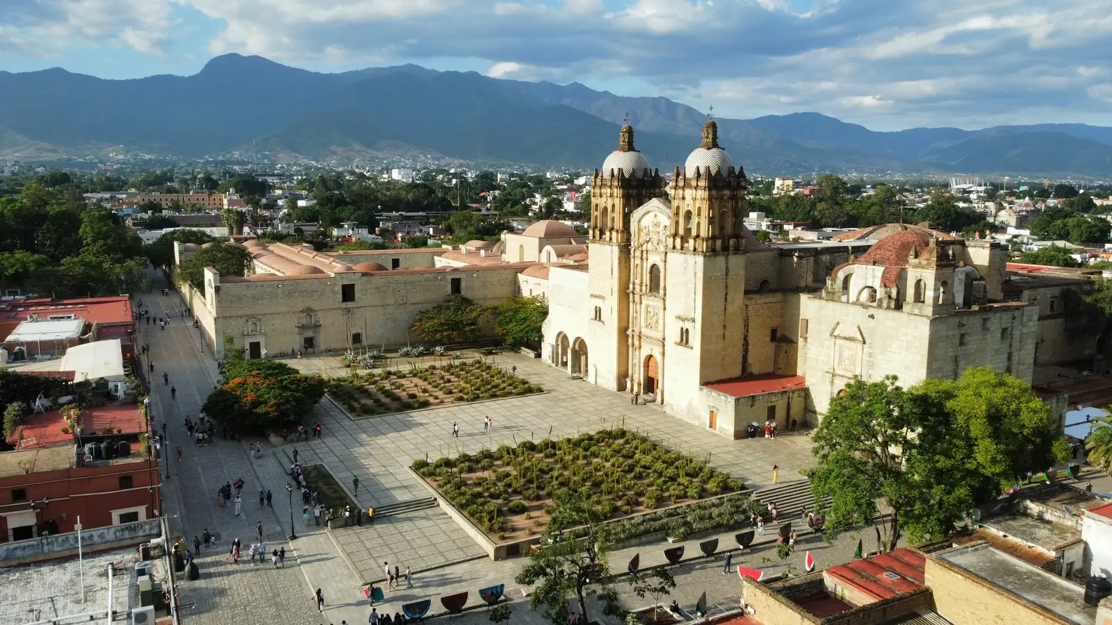
Oaxaca
Oaxaca de Juárez is the capital of the state of Oaxaca, a city of stone churches and painted façades whose historic centre and the hilltop ruins of Monte Albán were inscribed together on the UNESCO World Heritage List in 1987. A session here is planned around walking, not driving: the Andador Macedonio Alcalá runs as a pedestrian street from the cathedral up to the Templo de Santo Domingo de Guzmán, and most of the portraits people come for are taken within a ten-minute walk of that church. The rules split cleanly into two regimes. On the street, in the plazas and in barrios such as Jalatlaco, a handheld session needs no published permit, and the work is reading the crowds and the light on the façades. Inside anything run by the Instituto Nacional de Antropología e Historia (INAH), which includes the Museo de las Culturas in the former convent of Santo Domingo and the archaeological zones of Monte Albán and Mitla, professional equipment needs INAH permit INAH-01-001, applied for at least 10 business days ahead and charged at MXN 7,958 per day for photography in 2026, on top of the entry ticket. Distances are short by Mexican standards. Aeropuerto Internacional de Oaxaca sits about 7 km south of the centre, Monte Albán is a climb of roughly 20 minutes by car up the western hills, and Mitla lies about 45 km east along the Tlacolula valley, past the mezcal palenques of Santiago Matatlán. Hierve el Agua, the petrified waterfalls, is a further hour beyond Mitla on a community-run road whose access has been interrupted by local disputes in past years, so it is confirmed the week before rather than promised. The clients are a mix: couples from the US and Canada on their own trip, Mexican couples booking a preboda in the city where they plan to marry, and families who come for Día de Muertos. Since February 2024 the Barranca Larga–Ventanilla highway has brought Puerto Escondido within about 2.5 hours, so a growing number of sessions are split between the valley and the coast.
Explore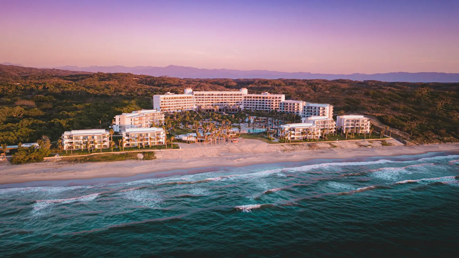
Riviera Nayarit
Riviera Nayarit is the stretch of Pacific coast in the state of Nayarit that starts at the Río Ameca, just north of the Puerto Vallarta airport, and runs north past Sayulita and San Pancho. Its southern half curves around the north shore of Banderas Bay, so it faces south and west, and the light at Punta de Mita and Sayulita comes off open ocean rather than a bay. Most visitors fly into Puerto Vallarta (PVR), in Jalisco, and drive across the state line. The coast changes character every few kilometres. Nuevo Vallarta and Flamingos, about 5 to 7 km from the runway, are a flat strip of large all-inclusive resorts and golf courses. Bucerías and La Cruz de Huanacaxtle are fishing towns with long, shallow beaches. Punta de Mita, at the tip of the bay, mixes a public village beach with a gated resort peninsula, and Litibú and Sayulita sit beyond it on surf beaches backed by jungle hills. Sayulita is on the federal tourism ministry’s list of Pueblos Mágicos, and its single main beach is crowded by mid-morning. Distance from the airport decides what a drone can do. Mexico’s drone standard, NOM-107-SCT3-2019, keeps drones 9.2 km from an aerodrome without special authorisation, which grounds routine drone work at the Nuevo Vallarta resorts. Bucerías, about 12 km out, sits in the ring where the ceiling drops to 100 m. Punta de Mita and Sayulita, about 29 km away, are clear of both rings, and every paid flight is still made by a local, Mexican-registered pilot with liability insurance. The clients are destination-wedding couples at the Punta Mita and Nuevo Vallarta resorts, families on all-inclusive stays, and younger couples renting villas in Sayulita and San Pancho. Gated resorts set their own rules for outside photographers, and some charge a vendor fee, so a session on resort grounds is cleared with the hotel first. The beach in front of every resort is federal and public, which keeps the sand itself open.
Explore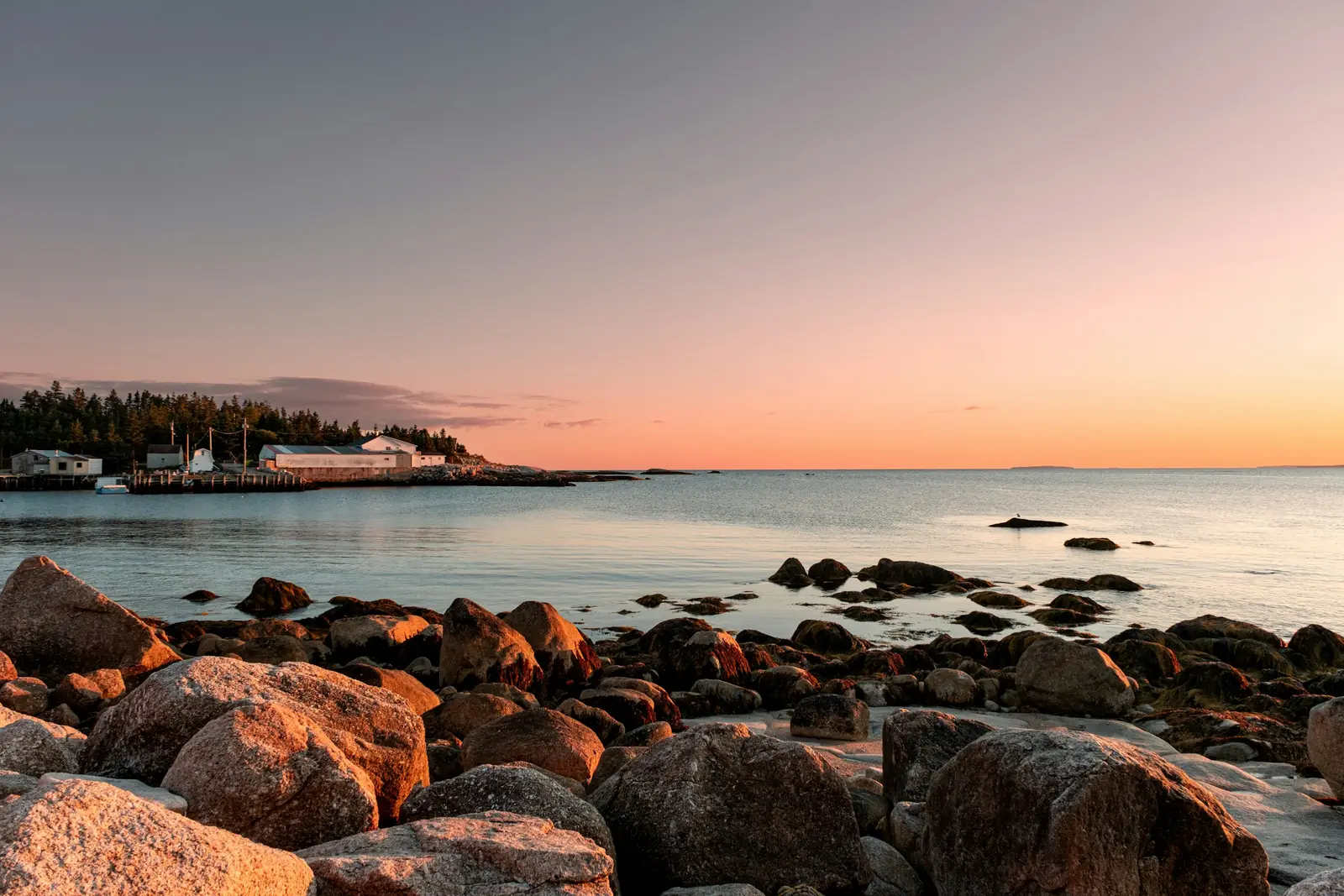
Cozumel
Cozumel is a flat limestone island about 48 km long and 14.8 km wide, some 20 km off the mainland, and it has two coasts that behave like two different places. The west coast faces the channel and Playa del Carmen: it holds San Miguel de Cozumel, the cruise piers, the hotels and the beach clubs, and it is where the sun sets over the water — at about 18:07 in mid-November and 19:30 in late June. The east coast faces the open Caribbean, has almost no buildings, and gets the sunrise, surf and wind. A couple can have a sunset on one side and a sunrise on the other on the same trip, which is the reason to come. Much of the coast is federal protected area, and that shapes where a session goes. The Parque Nacional Arrecifes de Cozumel covers the beaches and the sea from km 6 of the southern coastal road round to Punta Chiqueros on the east side; the Comisión Nacional de Áreas Naturales Protegidas (CONANP) charges MXN 225 per person per day, requires visitors to stay 1.5 m from the reef, and bans sunscreen in the water. The north of the island and the eastern coastal strip are a separate Área de Protección de Flora y Fauna. Commercial work with a crew inside either area can need CONANP authorisation, and we ask the island CONANP office before promising one. Cruise days set the rhythm of the town. The Administración Portuaria Integral de Quintana Roo (APIQROO) publishes the arrival calendar for the three cruise terminals — SSA Mexico, Punta Langosta and Puerta Maya — and most ships berth between 6:00 and 7:30 and sail between 16:00 and 17:00. The waterfront and the southern beach clubs are fullest in between, so we schedule sessions for early morning or after the ships have gone. The parks run by the Fundación de Parques y Museos de Cozumel close early: Punta Sur keeps 9:00 to 17:00 and Chankanaab 8:00 to 16:00, both listed Monday to Saturday. A golden-hour session therefore happens on a public beach rather than inside a park. Ferries from Playa del Carmen, run by Ultramar, Xailing and Winjet, land a few blocks from the centre, and Cozumel International Airport sits on the edge of San Miguel, which also matters for drones.
Explore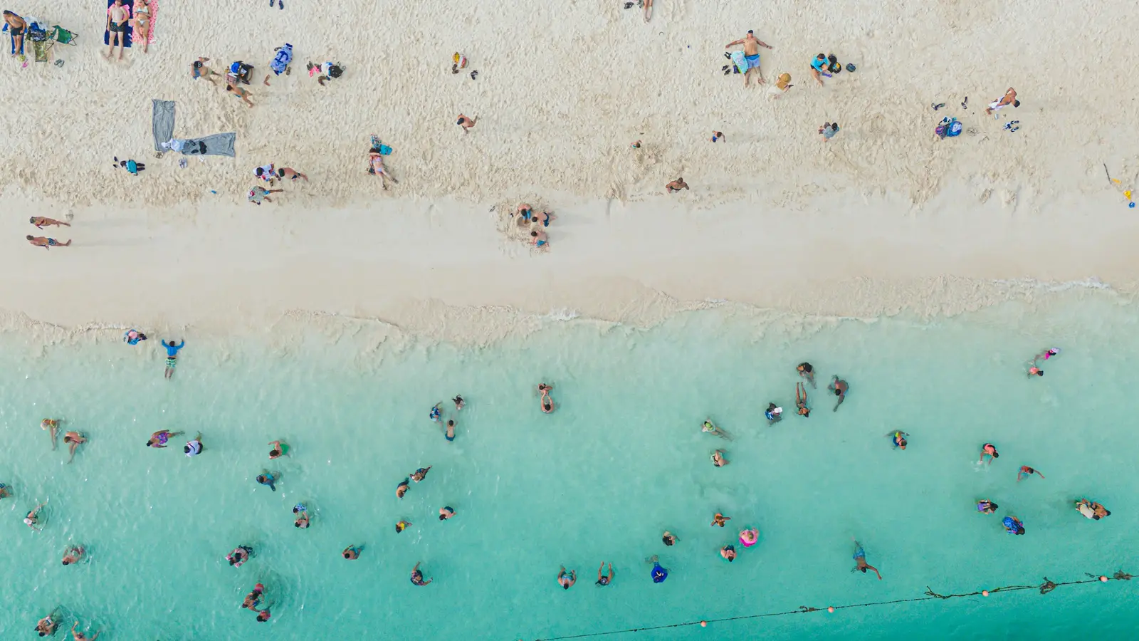
Isla Mujeres
Isla Mujeres is a small island municipality in Quintana Roo, across Bahía de Mujeres from Cancún. The port profile kept by the Secretaría de Marina (SEMAR) describes it as about five miles long and half a mile wide, low and narrow, with gentle cliffs along the eastern shore. That shape is the reason couples come: Playa Norte at the northern tip faces the sunset over shallow, pale water, and Punta Sur at the southern tip faces the open Caribbean and the sunrise. Getting here is a ferry, and the timetable is part of the plan. Ultramar runs passenger boats to the island’s APIQROO terminal from Puerto Juárez and from two hotel-zone piers, Playa Tortugas at km 6.5 and Playa Caracol at km 9.5, and asks passengers to arrive 30 minutes before departure. The car ferry leaves from Punta Sam, 7 kilometres north of Puerto Juárez. A couple staying in Cancún checks the last sailing back before choosing a sunset slot. Once on the island, golf carts and taxis cover the whole length in a short drive. Two federal protected areas shape what is possible offshore. The island’s western coast and the Manchones reef sit inside the Parque Nacional Costa Occidental de Isla Mujeres, Punta Cancún y Punta Nizuc, and Parque Nacional Isla Contoy lies to the north. Both are managed by the Comisión Nacional de Áreas Naturales Protegidas (CONANP), both charge a daily fee, and both management programmes require CONANP authorisation for commercial photography. Drones are the other constraint. The island has its own aerodrome, and Mexico’s drone standard NOM-107-SCT3-2019 keeps flights 9.2 km from any aerodrome without special authorisation. An island five miles long sits entirely inside that buffer, so aerial work here is not offered.
Explore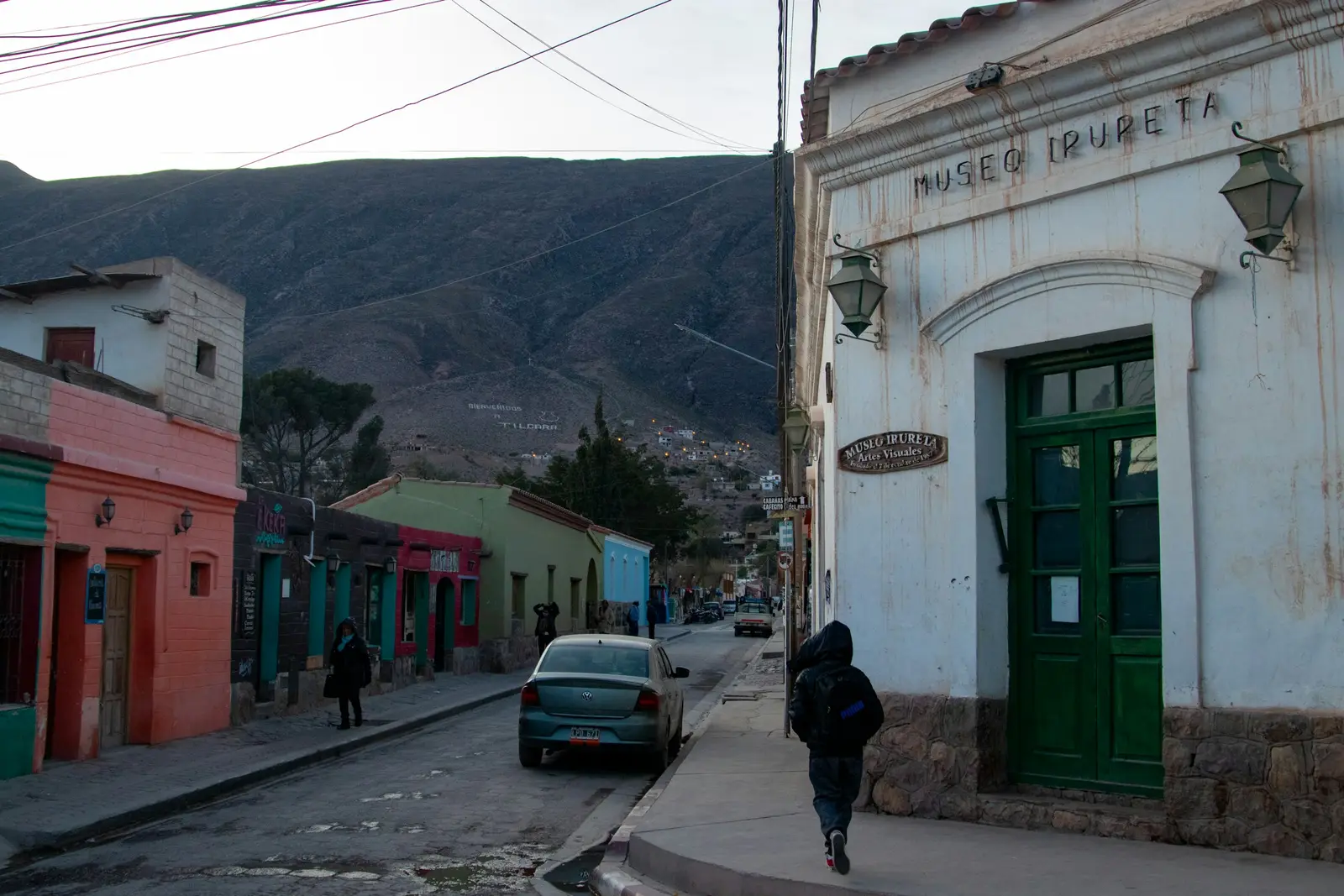
Mérida
Mérida is the capital of Yucatán and the base for most photography in the state, and its sessions split into two very different kinds of work. In the city itself the subject is architecture: the grid of the Centro Histórico, the Plaza Grande with the Catedral de San Ildefonso, and the Porfirian mansions along Paseo de Montejo, built with the fortune of the henequen boom. Around the city, the subject is the haciendas henequeneras, the former sisal estates that now host most of Yucatán's destination weddings, each with its own rules for outside vendors and music hours that only the hacienda can confirm. The archaeological day trips are where the rules get specific. The Zona Arqueológica de Chichén Itzá is about 115 km east of Mérida by Highway 180, and the Zona Arqueológica de Uxmal lies south along Federal Highway 261 past Muna. Both are run by the Instituto Nacional de Antropología e Historia (INAH) and both add a Yucatán state fee to the INAH ticket: in 2026 a foreign visitor pays MXN 105 plus MXN 592 at Chichén Itzá, and MXN 105 plus MXN 461 at Uxmal. A session with professional equipment, tripods or models inside either zone needs INAH permit INAH-01-001, applied for at least 10 business days ahead, at MXN 7,958 per day of photography. Closing times shape those days more than distance does. Uxmal closes at 16:00 and Chichén Itzá stops admitting visitors at 16:00, so there is no golden hour inside either site, and the evening portraits happen at a hacienda or a cenote nearby. Drones are a separate question: Mérida's international airport sits on the Mérida–Umán highway at the city's southern edge, and the Centro Histórico and Paseo de Montejo fall inside the 9.2 km aerodrome buffer of the federal drone standard, NOM-107-SCT3-2019, so a flight there needs Agencia Federal de Aviación Civil (AFAC) authorisation. Mérida keeps Zona Centro time, UTC−6 all year, the same as Mexico City and one hour behind Cancún. Guests who fly into Cancún for a Yucatán wedding gain an hour when they cross the state line, which is worth writing into every itinerary.
Explore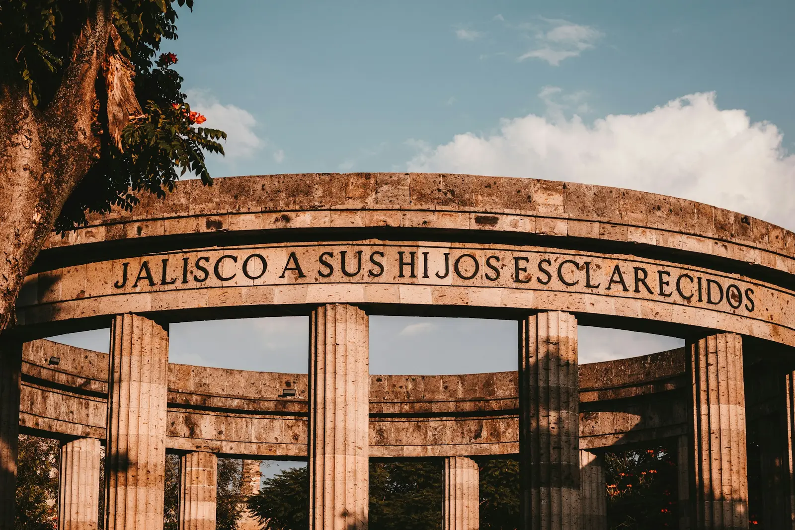
Guadalajara
Guadalajara is the capital of the state of Jalisco and the home city of mariachi, which UNESCO inscribed as intangible cultural heritage in 2011. For photography it offers three settings in one trip. The Centro Histórico gives cathedral spires, arcaded plazas and the Hospicio Cabañas, a World Heritage site since 1997 whose chapel holds the murals of José Clemente Orozco. The western neighbourhoods around Avenida Chapultepec, Colonia Americana and Providencia give tree-lined streets and modern architecture. And the blue agave fields of Tequila, a separate UNESCO landscape of 34,658 ha, lie north-west of the city. The rules are state law, which is unusual. Jalisco’s Ley de Filmaciones covers photography as well as film, and it is what decides whether a session needs paperwork. Tourist or personal-use photography on public streets that blocks no main road needs no notice or permit. A permit becomes necessary once camera, sound, lighting or grip equipment is set up on the street, or production vehicles block traffic, and private property is exempt as long as the vehicles are parked legally. Distances are bigger than in a colonial town. The Centro, Chapultepec and San Pedro Tlaquepaque are each a short drive apart, but the international airport is south of the city and the drive to Tequila takes most of a morning there and back, so a session that combines places is planned around the traffic. The light is the other planning question: from June to September afternoon storms are frequent, while the dry spring brings the hottest days of the year. Clients here are as often Mexican as foreign. Quinceañeras, church weddings and engagement sessions make up much of the work, alongside couples and families visiting from the United States, and companies attending events at the city’s convention centres.
Explore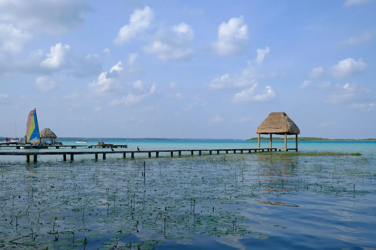
Bacalar
Bacalar is a lakeside town in southern Quintana Roo, about 40 km north of Chetumal and roughly 200 km south of Tulum on Federal Highway 307, built on the western shore of the Laguna de Bacalar. The lagoon is fresh water over white limestone, which is what gives it the bands of blue the town is known for, and it is lined with stromatolites, living mineral formations that are damaged by being stood on. Sessions here are planned from docks, kayaks and boats rather than from a beach. The water has its own rulebook. The Reglas de Operación de la Laguna de Bacalar, issued by the Administración Portuaria Integral de Quintana Roo (APIQROO) and authorised in December 2015, divide the lagoon into zones. Within 100 m of the shore, or 50 m where there are palafitos and docks, boats may not exceed 4 knots or raise a wake. Navigation at Los Rápidos and at the Canal de los Piratas is restricted from 8:00 to 18:00, when swimmers are in the water, and paddling and all tourist services stop between sunset and sunrise. The light follows the geography. The town faces east across the lagoon, so the sun rises over the water and sets behind the town, leaving the far shore lit in warm light at the end of the day. Midday is when the colour bands are strongest from above, and also when the docks are busiest. The Fuerte de San Felipe, a fort completed in 1733 on the bluff above the lagoon, gives the town its one stone backdrop. Most clients come down from Tulum or Playa del Carmen for one or two nights: couples, honeymooners and small elopements at the lakeside hotels, many of which have their own docks. Each hotel sets its own rule for outside photographers and its own dock hours, so that is confirmed with the hotel before the date.
Explore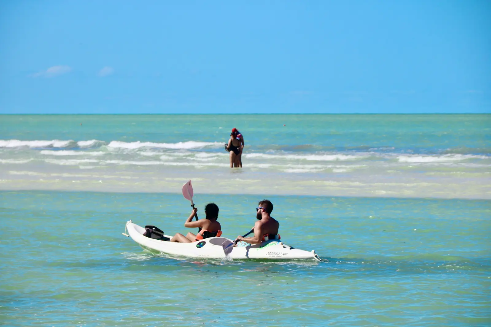
Holbox
Holbox is a sand island off the northern tip of Quintana Roo, and every square metre of it, the village included, lies inside the Área de Protección de Flora y Fauna Yum Balam, a federal protected area run by the Comisión Nacional de Áreas Naturales Protegidas (CONANP). That single fact shapes a session here more than the light does. The area's management programme, published in the Diario Oficial de la Federación in October 2018, bans the use of drones anywhere in Yum Balam except for science and the area's own management, so there is no aerial coverage on Holbox at any price. The same programme requires a CONANP authorisation for commercial filming and photography inside the area, which is why a session is planned as a small, handheld one rather than a production. Getting here is part of the plan. CONANP puts the port of Chiquilá about 140 km and two hours by road from Cancún, and about 245 km and four and a half hours from Mérida; from Chiquilá the crossing is by boat, and the boats are hired in Chiquilá or on Holbox. Cars stay on the mainland. The programme limits island traffic mainly to light vehicles such as bicycles, tricycles, motorcycles and modified golf carts, and it bans vehicles on the beaches, so the photographer arrives on foot or by cart with a backpack-sized kit. The light is the reason to come. The village beach faces north onto the Gulf of Mexico. Punta Cocos, the western tip, takes the sunset over the water, and Punta Mosquito, the sandbar east of the village, is a shallow flat where the water stays low far from shore at low tide. Sessions run in the last 90 minutes of daylight or in the first hour after sunrise, when the sand is empty. Wildlife sets the rest of the rules. Yum Balam's programme keeps visitors 30 m from trees used by nesting birds and 50 m from flamingo colonies, allows bird-watching only by day, and bans flash photography during whale-shark encounters. A photographer who knows those numbers keeps a proposal or a honeymoon session on the right side of the CONANP rangers.
Explore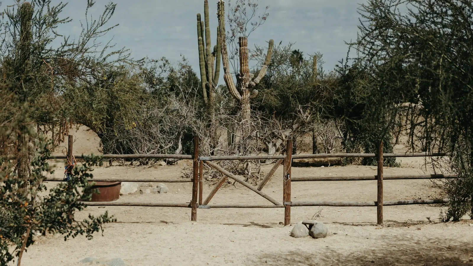
Todos Santos
Todos Santos is a Pueblo Mágico on the Pacific coast of Baja California Sur, listed by Mexico’s Secretaría de Turismo, and the town sits 76.4 km north of Cabo San Lucas by the federal protected-area office’s count. That distance is why couples come here: the resort strip is an hour and more behind them, and what is in front of them is a small adobe-and-brick town, a desert of cardón cactus and an ocean beach with nothing built on it. A session here is usually a half-day trip from a Los Cabos hotel or the reason for a stay in town. The coast faces west, which is the decisive fact for light. The sun goes down into the open Pacific rather than behind a headland, so the last hour runs long and clean, and the mountains of the Sierra de la Laguna stand behind the town on the other side. Mornings are softer and quieter on the beaches because the sun clears the hills late; evenings are when the beaches at La Cachora, Punta Lobos and Las Palmas earn the drive. This is a surf coast, not a swimming one. The beaches south of town and Los Cerritos at El Pescadero are known for their waves, so sessions are planned on the sand with the water as a backdrop, and anybody who goes in follows the posted signage on the day. Fishermen still launch boats from Punta Lobos, which gives a working beach in the frame and asks for a little room around the launch. Todos Santos is a delegación of the municipality of La Paz, and the paperwork follows that. La Paz’s permit for events on a beach or private property — weddings and XV años are named in it — costs MXN 1,374.52 without alcohol sales in 2026, asks for the delegate’s consent when the event is held in a delegación, needs a SEMARNAT or ZOFEMAT approval, and is half price in a rural zone. A couple and a photographer on the sand with no set-up is not an event; an arch and thirty chairs are.
Explore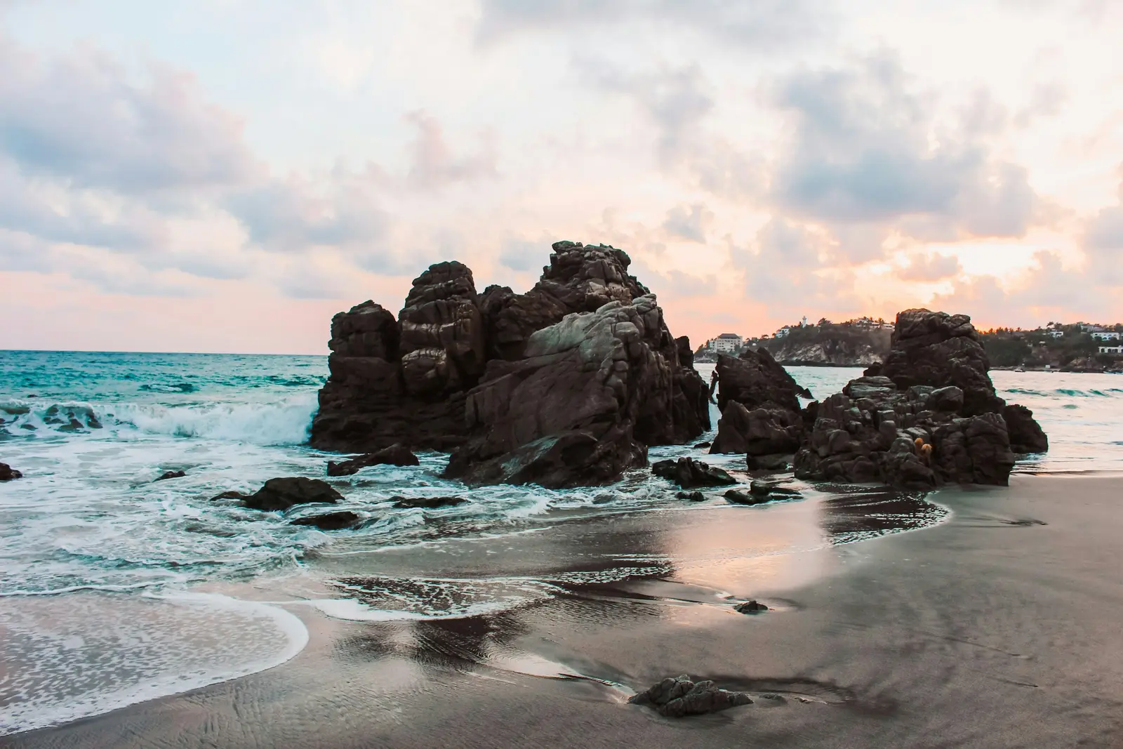
Puerto Escondido
Puerto Escondido is a beach town on the Pacific coast of the state of Oaxaca, known first for Playa Zicatela, a long, open beach whose powerful beach break surfers call the Mexican Pipeline. That fact shapes every session here. Zicatela is photographed from the sand, for its waves and its light, and nobody in a session goes into the water there. The sheltered coves to the west, Carrizalillo and Puerto Angelito, are where people swim, and the wide sweep of Bacocho is where the sun goes down over open sea. The town is small and spread along the coast. Aeropuerto Internacional de Puerto Escondido sits on the edge of town, so every beach in this guide is a short taxi ride from arrivals, and Punta Zicatela, the southern end of the surf beach, is the farthest at roughly 15 minutes. The same short distance has a cost: all of these beaches lie within 9.2 km of the airport, the distance Mexico’s drone standard NOM-107-SCT3-2019 requires from any aerodrome, so aerial work here needs a special AFAC authorisation and is not offered as a matter of course. Getting here changed in February 2024. The Barranca Larga–Ventanilla highway, 104.3 km long, cut the drive from Oaxaca city to the coast from about 6.5 hours to about 2.5, according to Banobras, so many visitors now pair the colonial city and the beach in one trip. Others fly in directly from Mexico City. The clients are mostly couples and young families on holiday, surfers and the content creators who follow them, and small wedding parties at the clifftop hotels of Punta Zicatela. Beaches are public under federal law, and a handheld session on the sand needs no published permit; anything built on the sand, such as an arch or rows of chairs, is a different matter and is cleared with the local ZOFEMAT office or SEMARNAT first.
Explore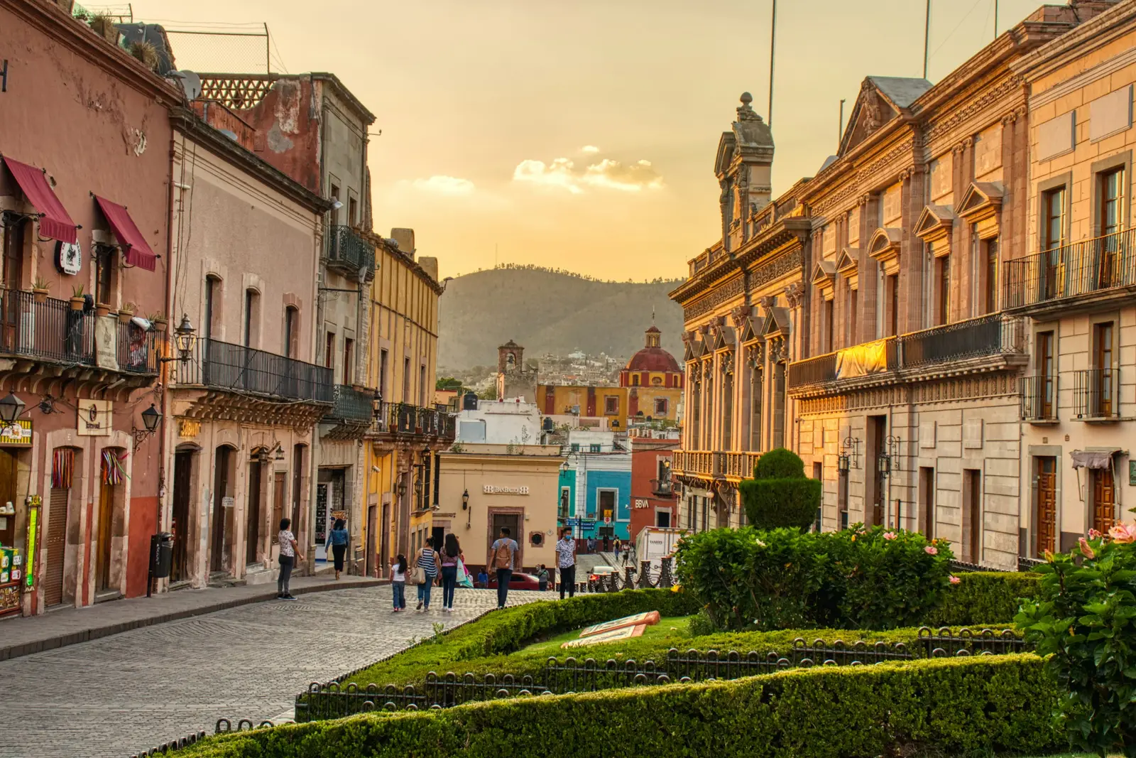
Guanajuato
Guanajuato is a colonial silver-mining city built into a narrow ravine at about 2,000 m, and its shape decides every session. Houses painted ochre, pink and blue climb the slopes on both sides, the old riverbed runs underground as a road tunnel, and most of the centre is reached on foot through callejones too narrow for a car. A photographer here works in short walks between plazas, with the colour on the hillsides as the backdrop and the stairways doing the posing. The light is a ravine’s light. The callejones fall into shade early, so the centre is photographed in open plazas such as the Jardín de la Unión and the Plaza de la Paz in the morning, and from the hillside viewpoints in the last hour, when the whole bowl of houses turns warm. The Monumento al Pípila viewpoint is reached by the funicular that starts behind the Teatro Juárez, or by a steep stair climb of about 15 minutes. Rules here are municipal rather than federal for most of the city. The Reglamento de Espectáculos y Festejos Públicos treats a callejoneada, the walking serenade led by an estudiantina, and any group of musicians performing in the street as a public show that needs a permit from the Dirección de Fiscalización y Control de Reglamentos. Museums are the exception: the Alhóndiga de Granaditas is an INAH museum, where professional cameras need INAH authorisation. The Aeropuerto Internacional de Guanajuato in Silao is about 30 km away, and San Miguel de Allende is a natural second stop roughly 90 minutes east. Clients are couples on a Bajío road trip, destination weddings with a callejoneada as the second act, and Mexican families who come for the Festival Internacional Cervantino every October.
Explore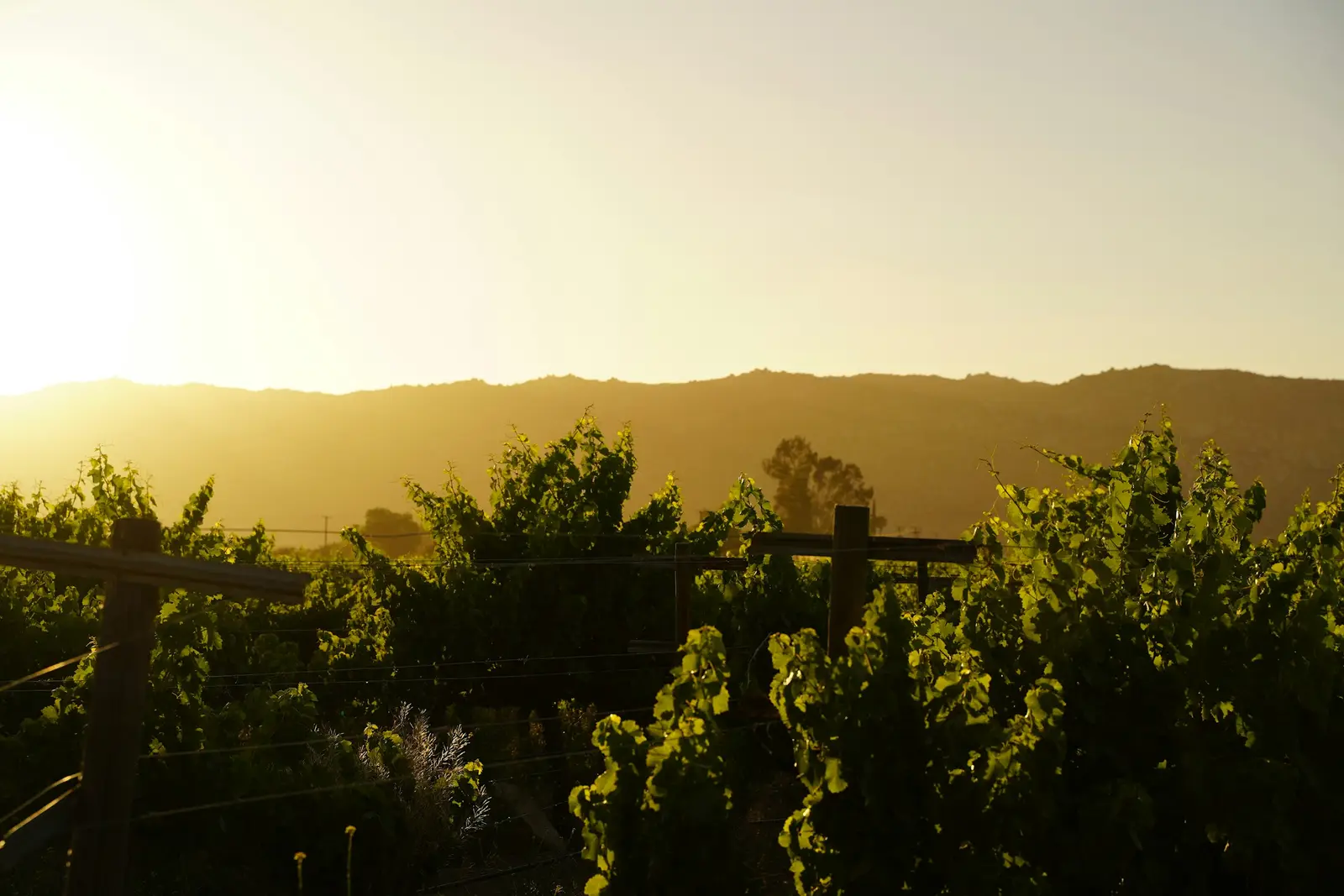
Valle de Guadalupe
Valle de Guadalupe is the wine valley of the Ensenada municipality in Baja California, a strip of vineyards, ranch roads and granite hills along Carretera Federal 3 roughly 40 minutes inland from the port of Ensenada. Provino Baja California, the winemakers’ association, counts 80 member wineries, and almost every frame worth making here stands on one of those private estates rather than on public land. That single fact shapes a session more than the light does: the photographer is a guest of the winery, and the winery decides where a tripod may stand. The valley is also the only destination in this catalogue that observes daylight saving time. The Ley de los Husos Horarios puts all of Baja California on the border seasonal clock from the second Sunday of March to the first Sunday of November, in step with San Diego, while most of Mexico stopped changing clocks in 2022. In practice a June sunset in the valley lands close to 7:55pm and a late-December sunset close to 4:45pm, a swing of more than three hours that decides when every ceremony and portrait block starts. Most clients drive down from Southern California. The trip from the San Ysidro crossing runs through Tijuana and down the coast to Ensenada before turning inland, and the border queue on the way home is the variable nobody controls, so Sunday-afternoon sessions are planned with that queue in mind. Vineyard roads between estates are mostly unpaved, and a wedding gown meets dust within ten steps of the car. The work here is couples and weddings first: rehearsal-dinner portraits among the vines, small ceremonies at estates that host 30 to 250 guests, and engagement sessions timed to the harvest. Drone coverage is possible over private estates with the owner’s permission and a Mexican-registered pilot, and it ends at sunset under the national drone standard.
Explore
Mazatlán
Mazatlán is a working Pacific port in Sinaloa whose Centro Histórico, beachfront promenade and island beaches sit within a few kilometres of each other, so one session can move from nineteenth-century streets to open surf in a short taxi ride. The Teatro Ángela Peralta, built in the Porfirian era and declared a Patrimonio Histórico de la Nación in 1990, anchors the old town around the Plazuela Machado. South of it, Paseo Olas Altas runs along the original seafront, and the promenade continues north past the Zona Dorada hotel strip toward Playa Cerritos. The coast faces west and south-west, which is what sells the city to photographers: the sun goes down over the water from almost every beach. Sinaloa sits in the Zona Pacífico of the Ley de los Husos Horarios at UTC−7 with no daylight saving, so a June sunset falls close to 6:55pm and a December sunset close to 5:25pm. Families flying in from US Central time often expect a later evening, and the session is set by the sun rather than by dinner. Across the harbour channel, Isla de la Piedra (Stone Island) is a long beach reached by water taxi from the Playa Sur docks, and it gives a quieter frame than the city beaches. El Faro, the lighthouse on Cerro del Crestón at the harbour mouth, is a steep, unshaded climb best made in the early morning. The Aeropuerto Internacional de Mazatlán lies south-east of the city, and the Centro Histórico, Olas Altas and Isla de la Piedra all fall inside the band where the national drone standard caps flights at 100 metres. Clients here are a mix of visitors from the US and Canada, most of them in the dry winter months, and Mexican families celebrating weddings, quinceañeras and reunions. Carnaval in February is the one week the whole city reorganises itself around.
Explore


About these places
20 destinations in 10 Mexican states
- 20
- 10
- 3
- 3
This directory lists 20 places in Mexico where a session can be booked with a photographer who lives there: 14 cities and towns (Cancún, Tulum, Mexico City, Playa del Carmen, Puerto Vallarta, San Miguel de Allende, Oaxaca, Mérida, Guadalajara, Bacalar, Todos Santos, Puerto Escondido, Guanajuato, and Mazatlán), 3 regions that are not a single town (Los Cabos, Riviera Nayarit, and Valle de Guadalupe) and 3 islands (Cozumel, Isla Mujeres, and Holbox).
The distinction between a city, a region and an island is not decorative. Los Cabos is two towns and the corridor of hotels between them, Riviera Nayarit is a coastline rather than a place with a centre, and Valle de Guadalupe is a wine valley where the vines in a photograph stand on private land. On an island, the ferry or the flight decides when a session can start and when it has to end.
What each page carries is what a visiting photographer would not know: which hour a location works, and who has the say over photographing there. In Mexico the answer changes within a single afternoon — an archaeological zone run by the Instituto Nacional de Antropología e Historia (INAH), a protected area run by the Comisión Nacional de Áreas Naturales Protegidas (CONANP), the federal beach zone administered by each municipality, drone rules set by the Agencia Federal de Aviación Civil (AFAC), and the private owner of every cenote, hacienda and resort. Where a fee is stated, the page names its source and the month it was last checked; where it cannot be sourced, the page says to ask rather than guessing.
Clocks matter too: Quintana Roo stays one hour ahead of Mexico City all year, which is the detail a traveller crossing from the Caribbean coast to the capital most often gets wrong. Each destination page also lists the areas covered from it at no travel charge, rather than giving them thin pages of their own, and names the nearby destinations a reader there plausibly also wants.